What we offer

Industrial service
Inspection
Drones are making it possible for professionals to easily collect aerial data in places where it would be logically impossible.
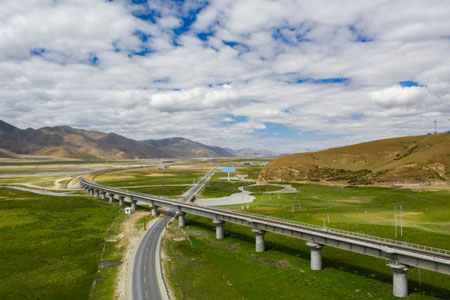
Geographical measurements
Survey
Capturing topographic data with a drone is up to five times faster than with land-based methods and requires less manpower.

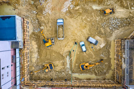
Buildings and bridges
Construction
In the construction of buildings and bridges, a drone’s purpose is utilized to maximum from planning till completion of the project.
Land measurements
Real Estate
Capturing topographic data with a drone is up to five times faster than with land-based methods and requires less manpower.
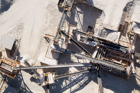
A deep inside earth
Mining
To examine deep into the earth for minerals and renewable resources, the drones recommended for mining operations.

A farm field service
Agriculture
A farmer can fly a drone over their fields in minutes to hours, gathering imagery on every single acre of crops, which is an instant plant count analytical data.