Water Infrastructure

What We Do

AI-Driven
Water Infrastructure

Birdscale integrates AI, drone technology, and advanced remote sensing to support water infrastructure development, monitoring, and environmental protection. Our platform combines LiDAR, Bathymetry, Hydrography, Photogrammetry, SLAM LiDAR, Satellite, Multispectral, Hyperspectral, and GIS tools to deliver accurate water resource assessments, infrastructure insights, and ecosystem management.

End-to-End Services

Water Infrastructure & Environment

We provide structured, technology-enabled services that enhance every stage of water infrastructure development and environmental protection. Our solutions integrate aerial intelligence, AI analytics, and multi-sensor data to support sustainable water management, infrastructure safety, and climate-resilient planning.

Water Body, Wetland & Bathymetry Mapping
Drone, LiDAR, photogrammetry, bathymetric surveys, and AI analytics for lakes, rivers, wetlands, reservoirs, and depth analysis.
Hydrography, Canal & Network Monitoring
Hydrographic surveys, canal inspections, pipeline network assessments, and AI-powered monitoring for water infrastructure performance and safety.
Water Theft Detection & Leak Monitoring
AI-enabled aerial surveillance to identify illegal water extraction, pipeline tampering, leakages, and unauthorised connections.
Sustainable Water Project Design & Monitoring
End-to-end design, layout planning, and monitoring for sustainable water supply projects, conservation initiatives, and community water programs.
Small Hydro Power & Dam Infrastructure
Design validation, structural assessments, and AI-driven inspections for small hydro power projects, dams, and associated structures.
Irrigation Design & Monitoring
LiDAR, drone, and AI tools for efficient lift irrigation, gravity canals, pipeline alignment, and distribution network performance.
Flood Modelling & Stormwater Infrastructure
Flood risk simulations, stormwater drain mapping, and AI-supported drainage planning for urban flood resilience.
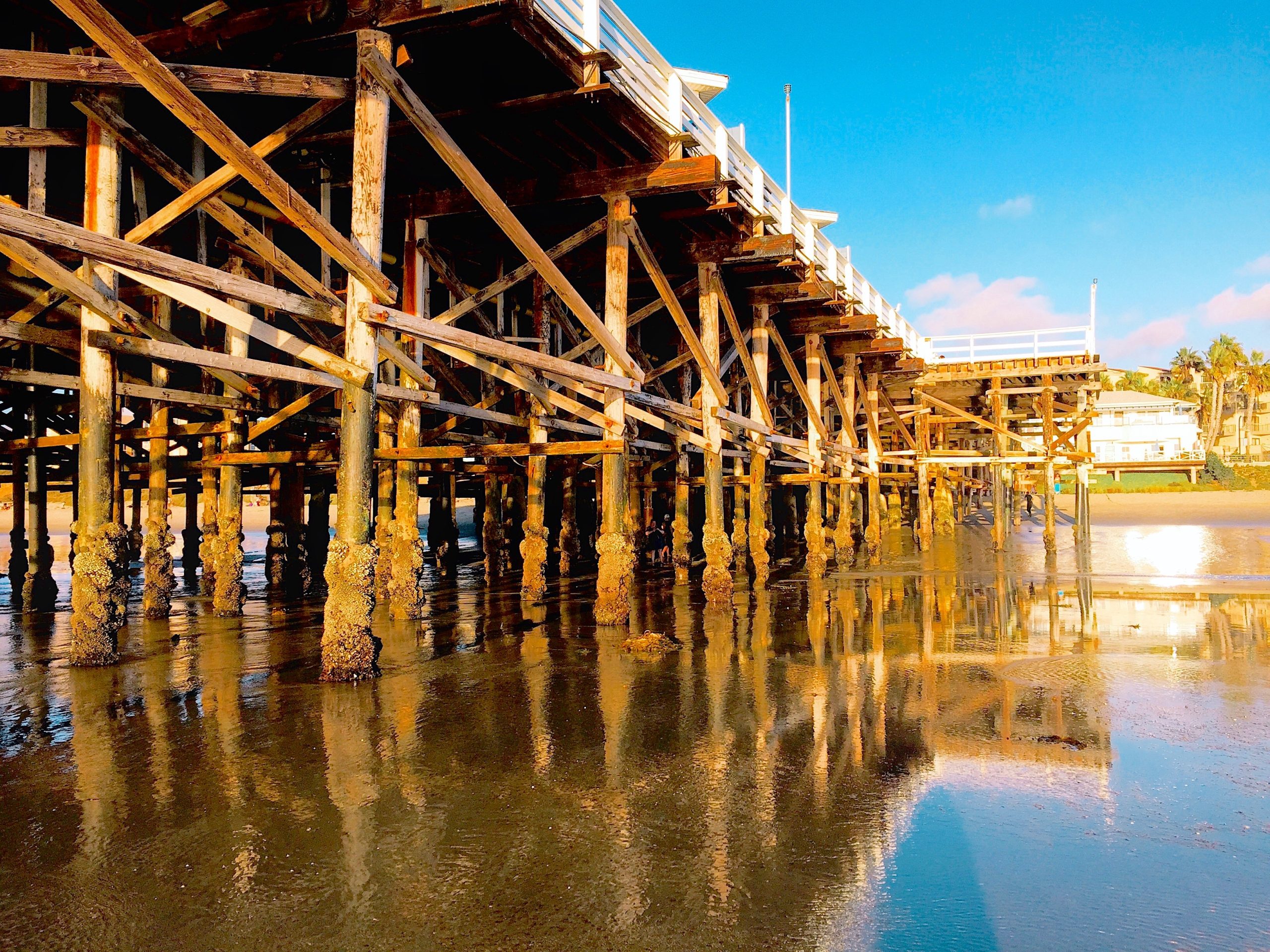
Coastal Zone Surveillance & Erosion Monitoring
Drone and satellite-based coastal monitoring, shoreline change detection, and erosion risk assessment for coastal zone management.
Groundwater Recharge & Watershed Mapping
Multi-sensor mapping to identify recharge zones, watersheds, and aquifer potential for groundwater sustainability and conservation.
Smart Water Infrastructure Digital Twins
Digital twins for real-time visualisation, AI-enabled status tracking, and predictive maintenance of large-scale water infrastructure.
Water Quality & Environmental Monitoring
Drone-enabled sampling, AI analytics, and sensor data for continuous water quality assessment, pollution tracking, and ecosystem health.
Environmental Documentation & Regulatory Reporting
Geospatial reports, visual documentation, environmental impact studies, and regulatory insights for project approvals and compliance.

Trusted by Industry Leaders -
250 Water Infrastructure Projects Delivered

Birdscale has delivered over 150 projects supporting sustainable water infrastructure, resource management, and environmental protection for private organisations and public agencies.

Collaborate with Us.

Let’s work and build
something great together.

Preloader image