Terrain & Environmental Mapping
Advanced Terrain &
Environmental Mapping Solutions
Birdscale specializes in cutting-edge terrain and environmental mapping solutions, enabling detailed exploration and management of challenging landscapes including forests, tunnels, caves, snow-capped mountains, glaciers, and deserts. Our innovative combination of drone technology, LiDAR scanning, photogrammetry, satellite imaging, and AI-powered analytics delivers precise geospatial insights, regardless of terrain complexity.
Trusted and field-tested, our solutions improve accuracy, safety, and decision-making for environmental research, infrastructure projects, and resource management.
Terrain & Environment Mapping – Our Expertise
Birdscale provides comprehensive and precise mapping solutions optimized for diverse and complex environments
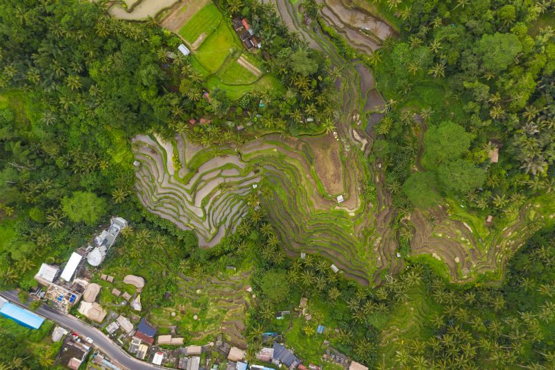
Forest
Mapping
Accurate forest density, canopy analysis, and biodiversity assessments using multispectral and LiDAR technology.
Tunnel
& Cave Surveys
High-precision 3D scanning and mapping for safe exploration and structural analysis.
Mountain
& Glacier Terrain
Detailed elevation models and glacier monitoring to assess terrain stability and climate impact.
Desert
Topography
Detailed mapping of dunes, rock formations, and geological features for environmental management.
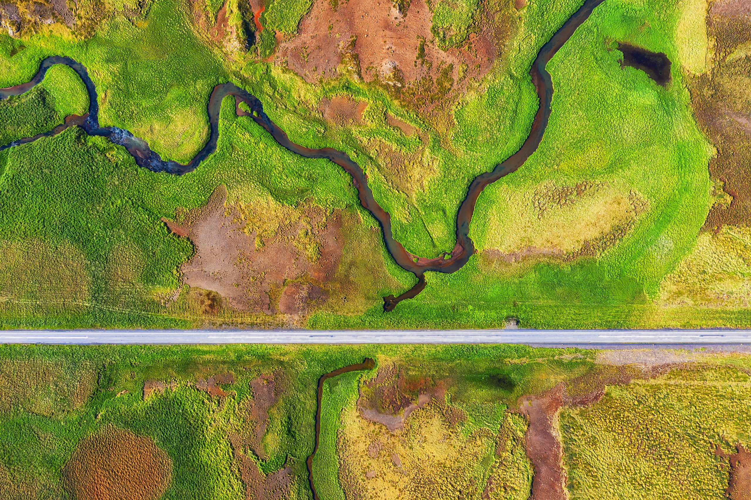
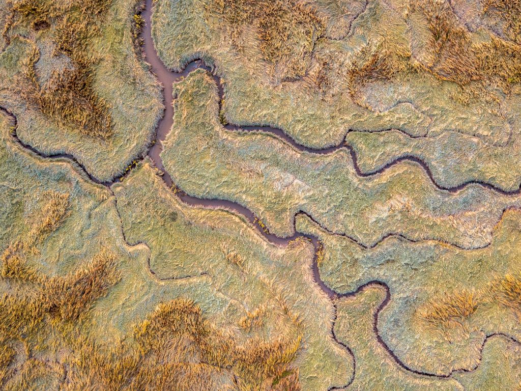
Coastal
& Marine Mapping
Precise terrain models of coastal areas, aiding erosion studies and shoreline management.
Snow
& Ice Monitoring
Comprehensive mapping to support climate research and natural hazard predictions.
Volumetric
& Structural Analysis
Accurate volumetric measurements and structural assessment for infrastructure planning.
Remote Area
Exploration
Safe and efficient mapping of inaccessible or hazardous terrain through drone and satellite imagery.
Environmental
Impact Analysis
Precise environmental data for impact assessments, conservation, and restoration projects.
Industries Benefiting from Our Mapping Solutions
Birdscale’s terrain and environmental mapping supports diverse sectors
Environmental Conservation
Infrastructure Development
Mining & Natural Resources
Disaster Management
Climate Research
Renewable Energy Projects
Urban & Regional Planning
Agriculture & Forestry
Core Mapping Capabilities

High-Precision Surveys
Detailed and accurate terrain modeling, ensuring precise environmental insights.

Advanced Analytics
AI-powered data analytics for comprehensive environmental and terrain analysis.

Customizable Solutions
Tailored mapping services optimized for unique project requirements and challenging terrains.
Proven Expertise -
Trusted by Leading Organizations
Birdscale’s innovative mapping solutions have effectively guided numerous projects across complex terrains, ensuring accuracy, reliability, and environmental responsibility.


Let’s work and build
something great together.