Birdscale offers comprehensive Remote Sensing and Drone courses designed specifically for students aspiring to build careers in geospatial technologies, drone operations, and AI analytics. Our expert-driven curriculum equips learners with hands-on skills in drone piloting, GIS mapping, multispectral analysis, LiDAR scanning, and artificial intelligence applications.
Empower your career prospects with industry-ready training from Birdscale—trusted by leading institutions and employers.
Birdscale’s drone training programs provide students with essential technical skills, industry certifications, and career-ready knowledge
Practical drone piloting with industry-standard certification.
Comprehensive training in GIS software, geospatial analysis, and drone-based mapping.
In-depth course on multispectral imagery analysis for agriculture, environment, and research.
Learn drone-based LiDAR data collection, processing, and high-resolution 3D modeling.
Hands-on skills in aerial photogrammetry for accurate land surveying and infrastructure projects.
Essential maintenance, safety standards, and risk management for drone operations.
Cutting-edge training in AI-driven remote sensing analytics for environmental and industrial applications.
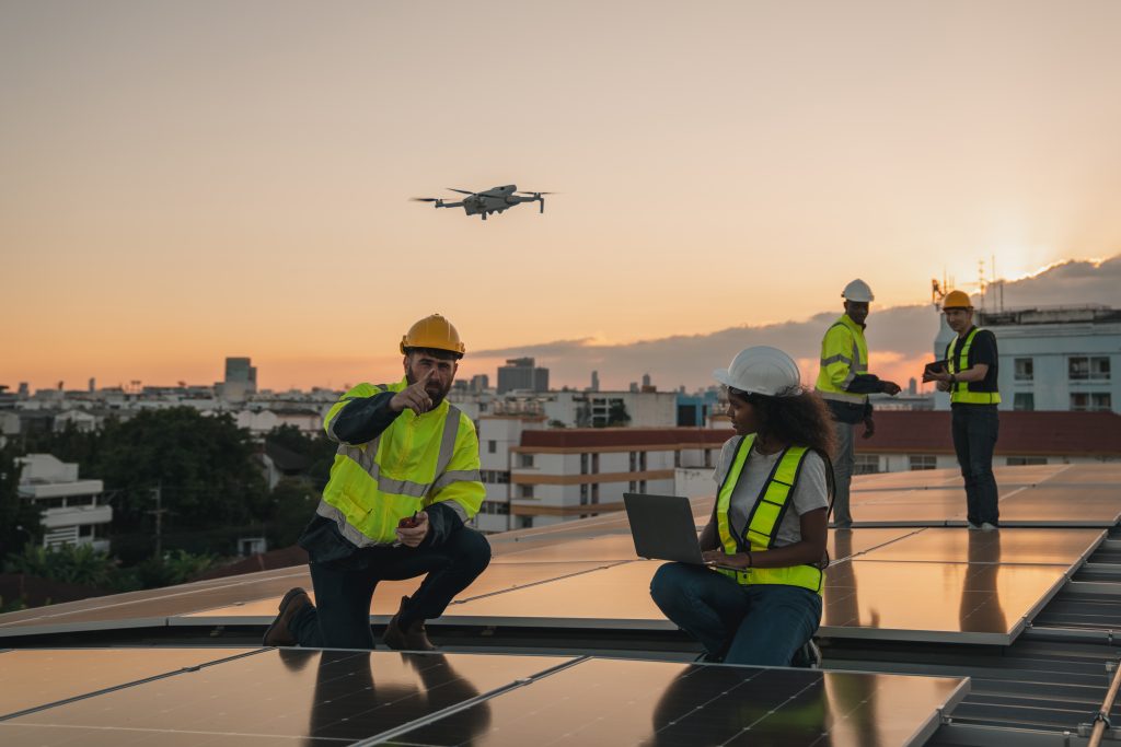
Drone-enabled thermal inspection techniques for infrastructure, solar energy, and industrial facilities.
Specialized training for environmental monitoring, conservation, and ecological studies.
Dedicated guidance, internship opportunities, and career support to secure employment in drone and remote sensing fields.
Courses developed and delivered by experienced industry professionals.
Real-world projects and drone flight training.
Industry-standard certifications enhancing employability.
Strong connections with industry leaders and career placement support.
Blended learning approach combining online resources and in-person practical training.
Graduates of Birdscale’s courses pursue rewarding careers in
Birdscale’s remote sensing and drone courses are trusted by prestigious educational institutions, employers, and government organizations, ensuring students receive recognized, respected training.


