Highlights of Birdscale
"A pioneer in drone as a service"
Birdscale proudly collaborates with leading organisations, government bodies, global technology leaders, and educational institutions, building a trusted ecosystem that drives excellence in aerial mapping, AI, and remote sensing.

Our Scale & Impact
0
Drone Pilots Associated
0
Operations - States
0
Operations - Countries
0
Hours of Drone Flying
0
Petabyte
Data Ownership
0
Executed Projects
0
Solved Major Use Cases
0
Proprietary AI Models in Development
0
CSR Initiatives Active
0
km
Mapped Roadways
0
km
Mapped Pipeline Network
0
Monitored Infrastructure Assets
Key Projects Snapshot

Infrastructure
National Highway Corridor Mapping; Smart City 3D Digital Twin

Energy
Solar Plant Thermal Inspection; Coal Yard Volumetric Analysis

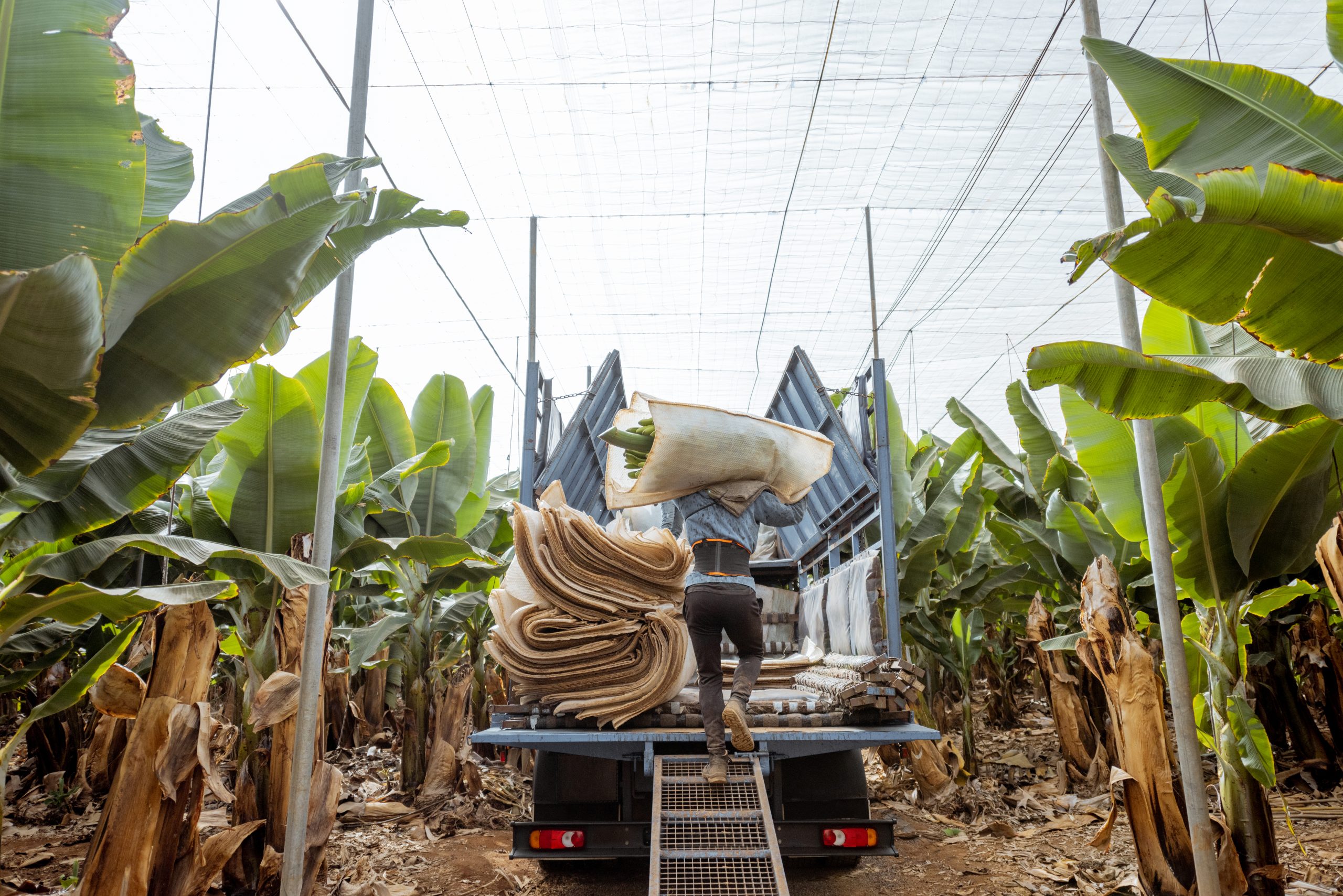
Agriculture
Crop Health Mapping; Precision Plantation Planning

ESG/Environment
Forest Encroachment Detection; Carbon Stock Estimation

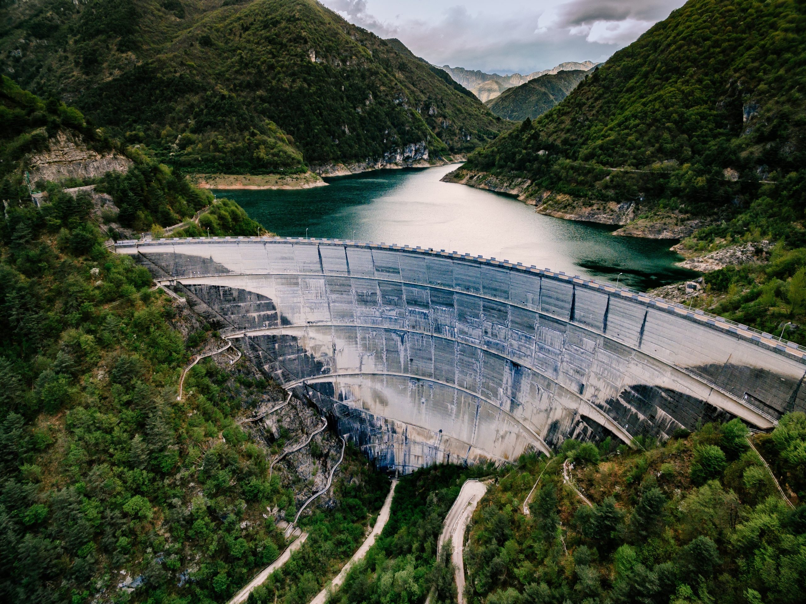
Water
Canal Digitization; Reservoir Bathymetry

Special Projects
Port Security Surveillance; Border AI Monitoring
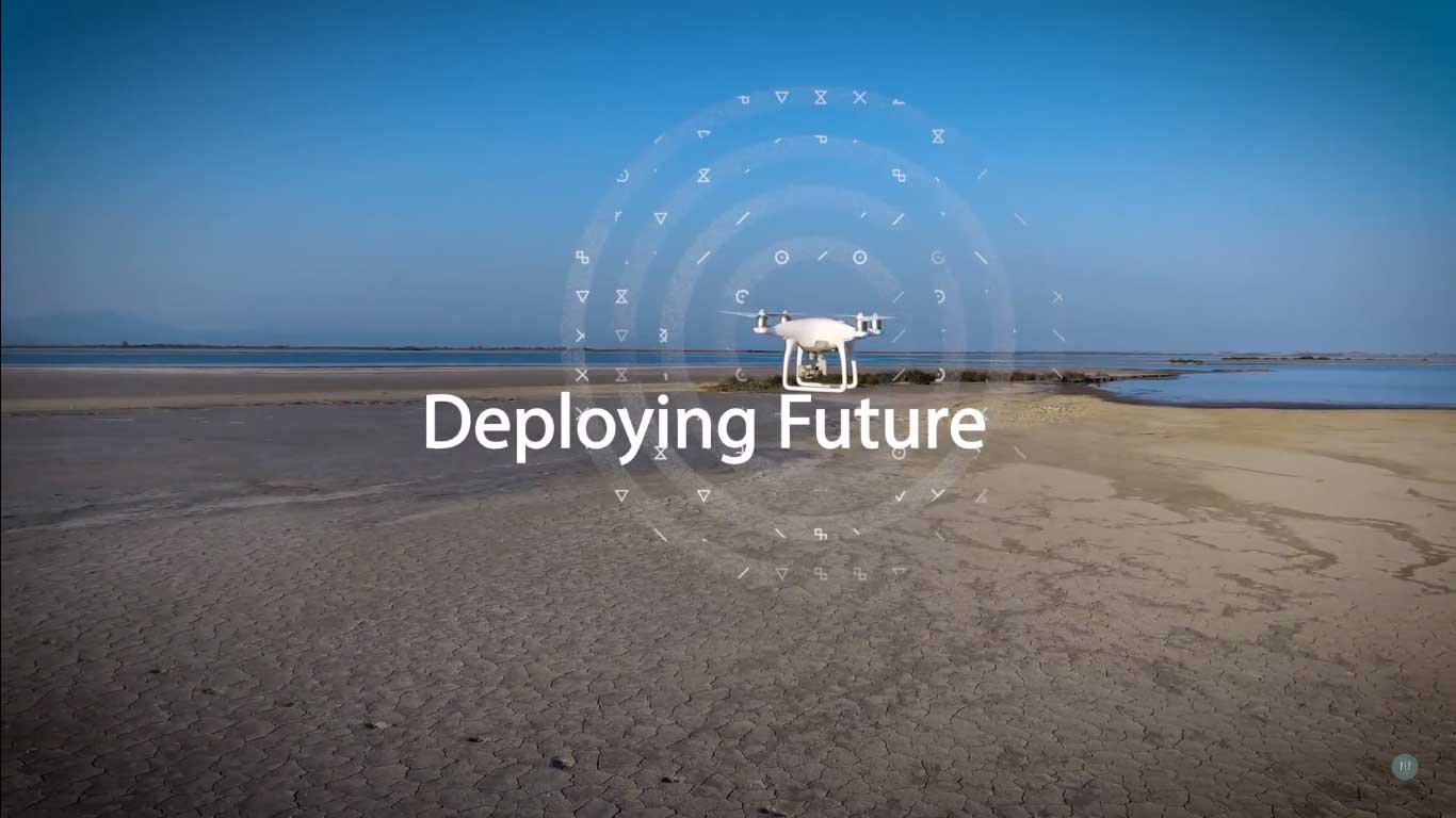
Corporate Video

Awards & Recognition

Remote Sensing Expo 2024
Best Emerging Drone Mapping Company

TechNext India Awards
Innovation in AI-Driven Mapping

ESG Leadership Awards
Outstanding Contribution to Environmental Monitoring

IIT Madras
Carbon Zero Initiative Grant

HDFC
Parivartan Social Impact Grant

National and International Platforms
Multiple Features Across
Building Success Through Strategic Alliances
Our network of strategic alliances enhances the quality, reach, and impact of our solutions.


